
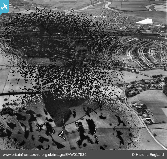
EAW017536 ENGLAND (1948). The residential area between the Manchester Ship Canal and the Bridgewater Canal, Grappenhall, 1948. This image has been produced from a damaged negative.
© Copyright OpenStreetMap contributors and licensed by the OpenStreetMap Foundation. 2026. Cartography is licensed as CC BY-SA.
Details
| Title | [EAW017536] The residential area between the Manchester Ship Canal and the Bridgewater Canal, Grappenhall, 1948. This image has been produced from a damaged negative. |
| Reference | EAW017536 |
| Date | 22-July-1948 |
| Link | |
| Place name | GRAPPENHALL |
| Parish | GRAPPENHALL AND THELWALL |
| District | |
| Country | ENGLAND |
| Easting / Northing | 363292, 386239 |
| Longitude / Latitude | -2.5517822106872, 53.37147142757 |
| National Grid Reference | SJ633862 |
Pins
Be the first to add a comment to this image!