
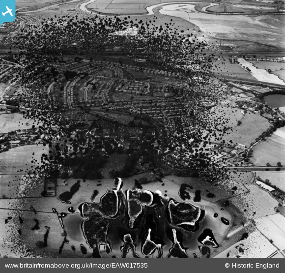
EAW017535 ENGLAND (1948). The residential area between the Manchester Ship Canal and the Bridgewater Canal, Grappenhall, 1948. This image has been produced from a damaged negative.
© Copyright OpenStreetMap contributors and licensed by the OpenStreetMap Foundation. 2026. Cartography is licensed as CC BY-SA.
Details
| Title | [EAW017535] The residential area between the Manchester Ship Canal and the Bridgewater Canal, Grappenhall, 1948. This image has been produced from a damaged negative. |
| Reference | EAW017535 |
| Date | 22-July-1948 |
| Link | |
| Place name | GRAPPENHALL |
| Parish | GRAPPENHALL AND THELWALL |
| District | |
| Country | ENGLAND |
| Easting / Northing | 363936, 386408 |
| Longitude / Latitude | -2.5421215898876, 53.373034961483 |
| National Grid Reference | SJ639864 |
