
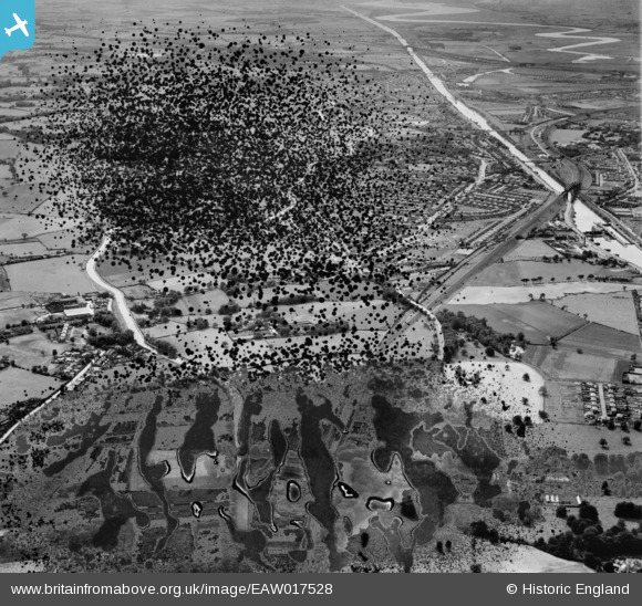
EAW017528 ENGLAND (1948). The residential area between the Manchester Ship Canal and the Bridgewater Canal, Grappenhall, 1948. This image has been produced from a damaged negative.
© Copyright OpenStreetMap contributors and licensed by the OpenStreetMap Foundation. 2026. Cartography is licensed as CC BY-SA.
Details
| Title | [EAW017528] The residential area between the Manchester Ship Canal and the Bridgewater Canal, Grappenhall, 1948. This image has been produced from a damaged negative. |
| Reference | EAW017528 |
| Date | 22-July-1948 |
| Link | |
| Place name | GRAPPENHALL |
| Parish | GRAPPENHALL AND THELWALL |
| District | |
| Country | ENGLAND |
| Easting / Northing | 364351, 386764 |
| Longitude / Latitude | -2.535923695681, 53.376263302564 |
| National Grid Reference | SJ644868 |
Pins

laurenemdavies |
Thursday 8th of August 2019 03:29:40 PM |