
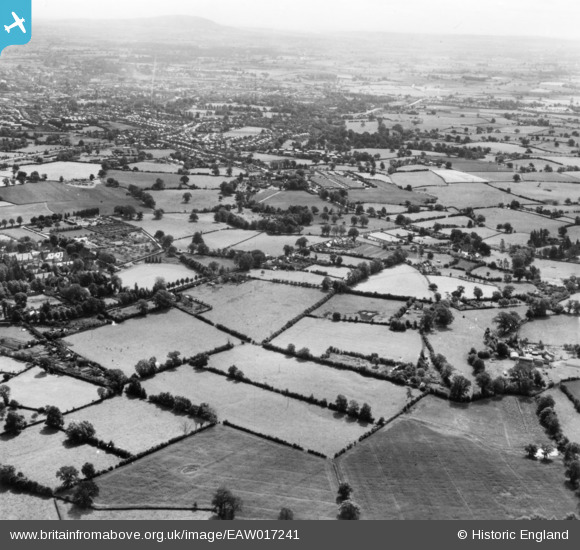
EAW017241 ENGLAND (1948). Fields between Racecourse Lane and Mytton Oak Road and environs, Bicton Heath, from the north-west, 1948. This image has been produced from a print.
© Copyright OpenStreetMap contributors and licensed by the OpenStreetMap Foundation. 2026. Cartography is licensed as CC BY-SA.
Details
| Title | [EAW017241] Fields between Racecourse Lane and Mytton Oak Road and environs, Bicton Heath, from the north-west, 1948. This image has been produced from a print. |
| Reference | EAW017241 |
| Date | 19-July-1948 |
| Link | |
| Place name | BICTON HEATH |
| Parish | SHREWSBURY |
| District | |
| Country | ENGLAND |
| Easting / Northing | 345685, 312824 |
| Longitude / Latitude | -2.8040464596117, 52.710008491099 |
| National Grid Reference | SJ457128 |
Pins
Be the first to add a comment to this image!