
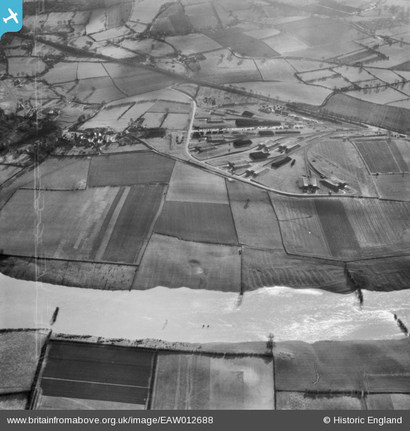
EAW012688 ENGLAND (1948). The River Severn in flood to the north of the Central Ammunition Depot, Ford, 1948
© Copyright OpenStreetMap contributors and licensed by the OpenStreetMap Foundation. 2026. Cartography is licensed as CC BY-SA.
Details
| Title | [EAW012688] The River Severn in flood to the north of the Central Ammunition Depot, Ford, 1948 |
| Reference | EAW012688 |
| Date | 14-January-1948 |
| Link | |
| Place name | FORD |
| Parish | FORD |
| District | |
| Country | ENGLAND |
| Easting / Northing | 340853, 314160 |
| Longitude / Latitude | -2.8758082598787, 52.721512021598 |
| National Grid Reference | SJ409142 |
Pins
Be the first to add a comment to this image!