
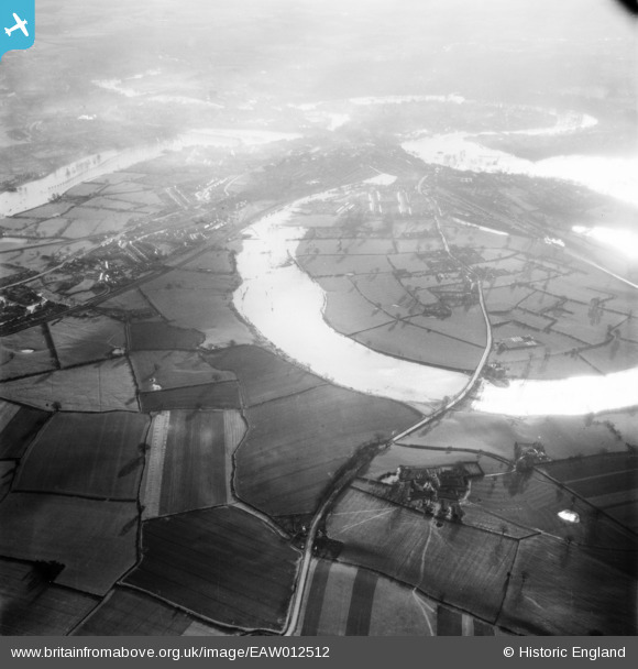
EAW012512 ENGLAND (1948). Floodwater at Coton Hill and Mount Pleasant, Shrewsbury, from the north, 1948
© Copyright OpenStreetMap contributors and licensed by the OpenStreetMap Foundation. 2026. Cartography is licensed as CC BY-SA.
Details
| Title | [EAW012512] Floodwater at Coton Hill and Mount Pleasant, Shrewsbury, from the north, 1948 |
| Reference | EAW012512 |
| Date | 14-January-1948 |
| Link | |
| Place name | SHREWSBURY |
| Parish | SHREWSBURY |
| District | |
| Country | ENGLAND |
| Easting / Northing | 349641, 315207 |
| Longitude / Latitude | -2.7458552226142, 52.731813992624 |
| National Grid Reference | SJ496152 |
 Bagley Drive