
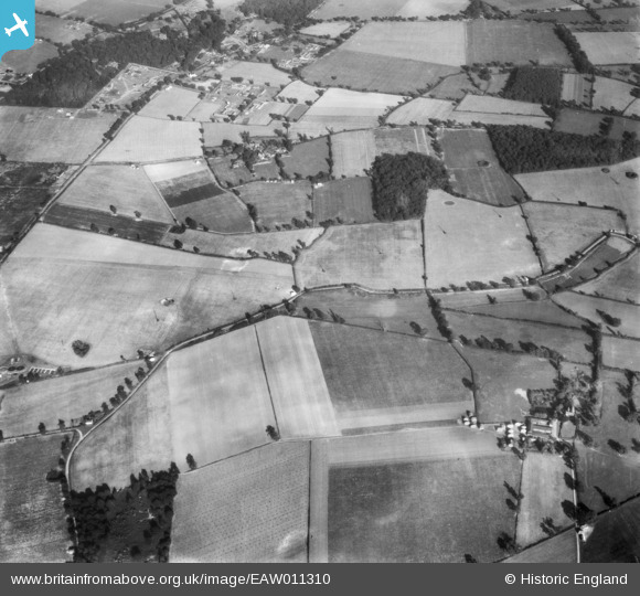
EAW011310 ENGLAND (1947). Kiln Grove, Hall Farm and environs, Blackthorpe, 1947
© Copyright OpenStreetMap contributors and licensed by the OpenStreetMap Foundation. 2025. Cartography is licensed as CC BY-SA.
Details
| Title | [EAW011310] Kiln Grove, Hall Farm and environs, Blackthorpe, 1947 |
| Reference | EAW011310 |
| Date | 1-October-1947 |
| Link | |
| Place name | BLACKTHORPE |
| Parish | RUSHBROOKE WITH ROUGHAM |
| District | |
| Country | ENGLAND |
| Easting / Northing | 589042, 262484 |
| Longitude / Latitude | 0.76828185337867, 52.227659003837 |
| National Grid Reference | TL890625 |
Pins
Be the first to add a comment to this image!