
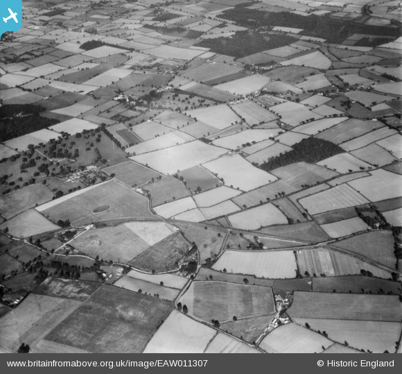
EAW011307 ENGLAND (1947). Rawhall Wood and the surrounding countryside, Bradfield St Clare, 1947
© Copyright OpenStreetMap contributors and licensed by the OpenStreetMap Foundation. 2025. Cartography is licensed as CC BY-SA.
Details
| Title | [EAW011307] Rawhall Wood and the surrounding countryside, Bradfield St Clare, 1947 |
| Reference | EAW011307 |
| Date | 1-October-1947 |
| Link | |
| Place name | BRADFIELD ST CLARE |
| Parish | BRADFIELD ST. CLARE |
| District | |
| Country | ENGLAND |
| Easting / Northing | 590258, 258980 |
| Longitude / Latitude | 0.7840964680273, 52.195771586842 |
| National Grid Reference | TL903590 |
Pins
Be the first to add a comment to this image!