
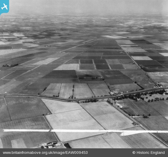
EAW009453 ENGLAND (1947). Little Ouse River, Feltwell Anchor and environs, Feltwell, from the south-west, 1947. This image has been produced from a print marked by Aerofilms Ltd for photo editing.
© Copyright OpenStreetMap contributors and licensed by the OpenStreetMap Foundation. 2026. Cartography is licensed as CC BY-SA.
Details
| Title | [EAW009453] Little Ouse River, Feltwell Anchor and environs, Feltwell, from the south-west, 1947. This image has been produced from a print marked by Aerofilms Ltd for photo editing. |
| Reference | EAW009453 |
| Date | 19-August-1947 |
| Link | |
| Place name | FELTWELL |
| Parish | FELTWELL |
| District | |
| Country | ENGLAND |
| Easting / Northing | 561804, 289521 |
| Longitude / Latitude | 0.38285236891128, 52.479222454094 |
| National Grid Reference | TL618895 |
Pins

JJanik |
Friday 20th of November 2020 05:13:59 PM | |
|
JJanik |
Friday 20th of November 2020 05:13:37 PM | |
|
JJanik |
Friday 20th of November 2020 05:13:18 PM | |
|
JJanik |
Friday 20th of November 2020 05:12:46 PM | |
|
JJanik |
Friday 20th of November 2020 05:12:29 PM | |

Sparky |
Friday 13th of October 2017 07:02:39 AM | |
|
Sparky |
Friday 13th of October 2017 07:02:05 AM |