
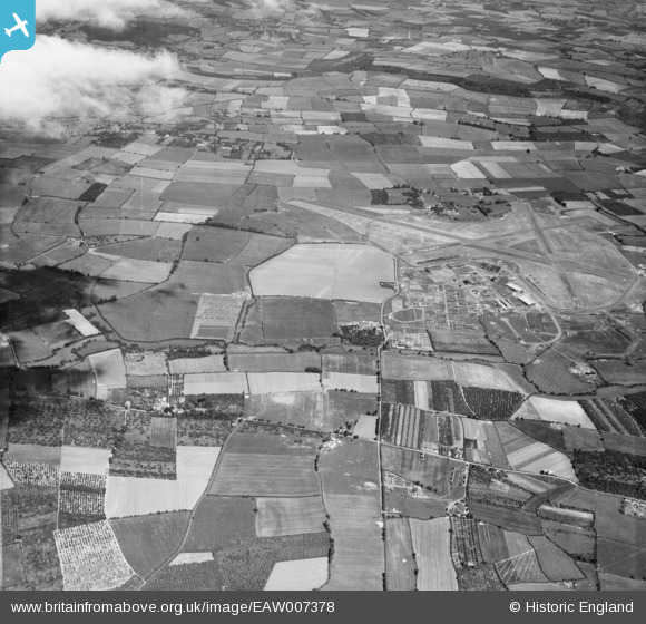
EAW007378 ENGLAND (1947). RAF Pershore and surrounding countryside, Peopleton, from the west, 1947
© Copyright OpenStreetMap contributors and licensed by the OpenStreetMap Foundation. 2026. Cartography is licensed as CC BY-SA.
Details
| Title | [EAW007378] RAF Pershore and surrounding countryside, Peopleton, from the west, 1947 |
| Reference | EAW007378 |
| Date | 12-June-1947 |
| Link | |
| Place name | PEOPLETON |
| Parish | PEOPLETON |
| District | |
| Country | ENGLAND |
| Easting / Northing | 396036, 250218 |
| Longitude / Latitude | -2.0579408971062, 52.149824638963 |
| National Grid Reference | SO960502 |
Pins

Matt Aldred edob.mattaldred.com |
Saturday 7th of March 2026 11:17:07 PM | |
|
Matt Aldred edob.mattaldred.com |
Saturday 7th of March 2026 11:15:57 PM | |
|
Matt Aldred edob.mattaldred.com |
Saturday 7th of March 2026 11:15:07 PM | |
|
Matt Aldred edob.mattaldred.com |
Saturday 7th of March 2026 11:14:17 PM |