
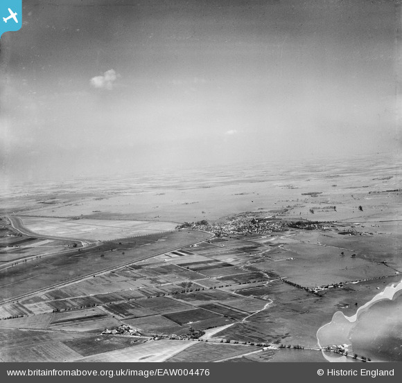
EAW004476 ENGLAND (1947). The town surrounded by flood waters, Crowland, from the south-west, 1947
© Copyright OpenStreetMap contributors and licensed by the OpenStreetMap Foundation. 2026. Cartography is licensed as CC BY-SA.
Details
| Title | [EAW004476] The town surrounded by flood waters, Crowland, from the south-west, 1947 |
| Reference | EAW004476 |
| Date | 16-April-1947 |
| Link | |
| Place name | CROWLAND |
| Parish | CROWLAND |
| District | |
| Country | ENGLAND |
| Easting / Northing | 522992, 309433 |
| Longitude / Latitude | -0.18097045882612, 52.668287854881 |
| National Grid Reference | TF230094 |
Pins

Matt Aldred edob.mattaldred.com |
Sunday 3rd of May 2026 05:32:52 PM |