
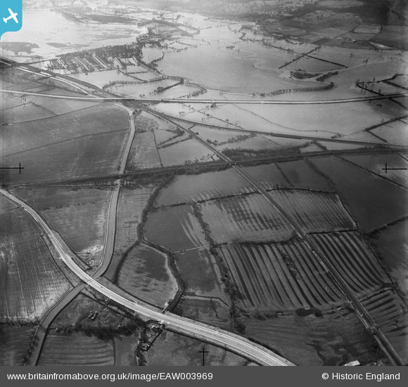
EAW003969 ENGLAND (1947). Flooding at Oxey Mead and Pixey Mead, Yarnton, 1947
© Copyright OpenStreetMap contributors and licensed by the OpenStreetMap Foundation. 2026. Cartography is licensed as CC BY-SA.
Details
| Title | [EAW003969] Flooding at Oxey Mead and Pixey Mead, Yarnton, 1947 |
| Reference | EAW003969 |
| Date | 20-March-1947 |
| Link | |
| Place name | YARNTON |
| Parish | YARNTON |
| District | |
| Country | ENGLAND |
| Easting / Northing | 448650, 211246 |
| Longitude / Latitude | -1.2944485300844, 51.797294567633 |
| National Grid Reference | SP487112 |
Pins
 PILLBOX (TYPE FW3/24): e90175 |

Matt Aldred edob.mattaldred.com |
Tuesday 7th of July 2026 04:43:29 PM |