
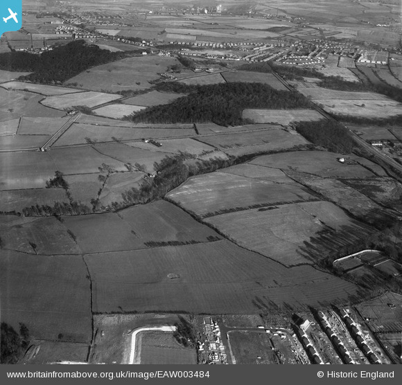
EAW003484 ENGLAND (1947). Birch Wood and surrounding countryside, Rawmarsh, 1947
© Copyright OpenStreetMap contributors and licensed by the OpenStreetMap Foundation. 2024. Cartography is licensed as CC BY-SA.
Nearby Images (2)
EAW003484

EAW003483

Details
| Title | [EAW003484] Birch Wood and surrounding countryside, Rawmarsh, 1947 |
| Reference | EAW003484 |
| Date | 12-January-1947 |
| Link | |
| Place name | RAWMARSH |
| Parish | |
| District | |
| Country | ENGLAND |
| Easting / Northing | 443621, 397751 |
| Longitude / Latitude | -1.3427166882154, 53.474427144115 |
| National Grid Reference | SK436978 |


