
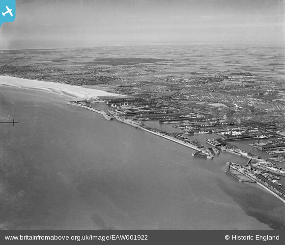
EAW001922 ENGLAND (1946). The Liverpool Docks at Bootle and the surrounding area, Bootle, from the south, 1946
© Copyright OpenStreetMap contributors and licensed by the OpenStreetMap Foundation. 2026. Cartography is licensed as CC BY-SA.
Details
| Title | [EAW001922] The Liverpool Docks at Bootle and the surrounding area, Bootle, from the south, 1946 |
| Reference | EAW001922 |
| Date | 12-July-1946 |
| Link | |
| Place name | BOOTLE |
| Parish | |
| District | |
| Country | ENGLAND |
| Easting / Northing | 332642, 394063 |
| Longitude / Latitude | -3.0141127070135, 53.438776844027 |
| National Grid Reference | SJ326941 |
Pins

redmist |
Monday 12th of August 2024 08:15:01 PM | |
|
redmist |
Friday 12th of February 2021 11:52:05 AM | |
|
redmist |
Friday 12th of February 2021 11:51:36 AM | |
|
redmist |
Friday 12th of February 2021 11:51:08 AM | |
|
redmist |
Friday 12th of February 2021 11:50:16 AM | |
|
bob |
Thursday 7th of January 2021 07:22:43 PM | |
|
redmist |
Friday 29th of March 2019 10:39:21 AM | |
|
redmist |
Friday 29th of March 2019 10:34:01 AM |