
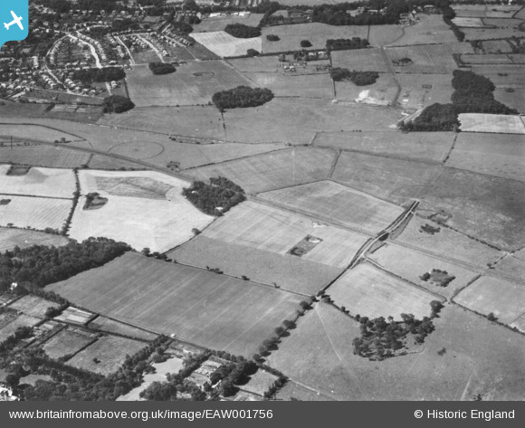
EAW001756 ENGLAND (1946). Countryside between Moreton and Bidston, Moreton, 1946. This image has been produced from a print.
© Copyright OpenStreetMap contributors and licensed by the OpenStreetMap Foundation. 2026. Cartography is licensed as CC BY-SA.
Details
| Title | [EAW001756] Countryside between Moreton and Bidston, Moreton, 1946. This image has been produced from a print. |
| Reference | EAW001756 |
| Date | 11-July-1946 |
| Link | |
| Place name | MORETON |
| Parish | |
| District | |
| Country | ENGLAND |
| Easting / Northing | 327890, 389430 |
| Longitude / Latitude | -3.0845829517495, 53.396506871222 |
| National Grid Reference | SJ279894 |
Pins

Matt Aldred edob.mattaldred.com |
Saturday 5th of February 2022 09:17:34 PM | |

kevin nickson |
Friday 20th of August 2021 03:05:31 PM | |
|
kevin nickson |
Friday 20th of August 2021 03:03:38 PM | |
|
kevin nickson |
Friday 20th of August 2021 03:02:51 PM | |
|
Matt Aldred edob.mattaldred.com |
Sunday 28th of February 2021 06:38:27 PM | |

Sparky |
Saturday 19th of August 2017 12:31:56 AM | |
|
Sparky |
Saturday 19th of August 2017 12:30:54 AM |