
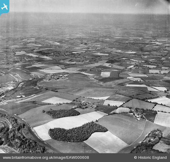
EAW000608 ENGLAND (1946). Luton Airport and the surrounding countryside, Someries Castle, from the south, 1946
© Copyright OpenStreetMap contributors and licensed by the OpenStreetMap Foundation. 2026. Cartography is licensed as CC BY-SA.
Details
| Title | [EAW000608] Luton Airport and the surrounding countryside, Someries Castle, from the south, 1946 |
| Reference | EAW000608 |
| Date | 10-May-1946 |
| Link | |
| Place name | SOMERIES CASTLE |
| Parish | HYDE |
| District | |
| Country | ENGLAND |
| Easting / Northing | 511891, 219905 |
| Longitude / Latitude | -0.37477488404648, 51.866047572892 |
| National Grid Reference | TL119199 |
Pins

DavidR |
Wednesday 15th of March 2023 04:41:40 PM | |
|
brian |
Tuesday 7th of October 2014 10:28:38 PM | |
|
brian |
Tuesday 7th of October 2014 10:26:24 PM | |
I believe this is actually the GNR Hatfield - Dunstable branch line. The adjacent Lower Luton Road is heavily concealed by trees. |
Richard Armstrong |
Monday 4th of December 2017 11:15:27 PM |