
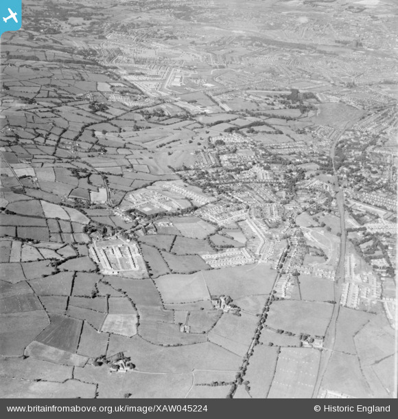
xaw045224 NORTHERN IRELAND (1952). General View, Knock, Castlereagh, Northern Ireland, 1952. Oblique aerial photograph taken facing West.
© Copyright OpenStreetMap contributors and licensed by the OpenStreetMap Foundation. 2024. Cartography is licensed as CC BY-SA.
Nearby Images (3)
XAW045224

XAW045231

XAW045226

Details
| Title | [XAW045224] General View, Knock, Castlereagh, Northern Ireland, 1952. Oblique aerial photograph taken facing West. |
| Reference | XAW045224 |
| Date | 1952 |
| Link | |
| Place name | KNOCK |
| Parish | NORTHERN IRELAND |
| District | |
| Country | NORTHERN IRELAND |
| Easting / Northing | 151122, 527996 |
| Longitude / Latitude | -5.853394, 54.585712 |
| National Grid Reference |
Pins
 Richard Craig |
Saturday 5th of October 2019 11:49:06 AM | |
Richard Craig |
Friday 4th of October 2019 12:50:04 PM | |
Richard Craig |
Friday 4th of October 2019 12:48:22 PM | |
yourpete |
Monday 17th of November 2014 01:05:20 AM | |
Buzby |
Saturday 1st of November 2014 08:43:05 AM | |
Buzby |
Saturday 1st of November 2014 08:40:15 AM | |
Buzby |
Saturday 1st of November 2014 08:39:10 AM | |
Buzby |
Saturday 1st of November 2014 08:38:29 AM | |
Buzby |
Saturday 1st of November 2014 08:37:39 AM |


