
wpw052635 WALES (1937). View of Splott, Cardiff, showing park and swimming pool, oblique aerial view. 5"x4" black and white glass plate negative.

© Copyright OpenStreetMap contributors and licensed by the OpenStreetMap Foundation. 2024. Cartography is licensed as CC BY-SA.
Nearby Images (4)
WPW052635

WPW052636

WPW052637

WPW052638

Details
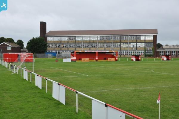
| Title | [WPW052635] View of Splott, Cardiff, showing park and swimming pool, oblique aerial view. 5"x4" black and white glass plate negative. |
| Reference | WPW052635 |
| Date | 1937 |
| Link | Coflein Archive Item 6370056 |
| Place name | |
| Parish | |
| District | |
| Country | WALES |
| Easting / Northing | 320230, 176610 |
| Longitude / Latitude | -3.1488958845389, 51.482326939427 |
| National Grid Reference | ST202766 |
Pins
 gBr |
Tuesday 2nd of December 2014 03:43:44 AM | |
Kingsley |
Wednesday 14th of May 2014 06:19:18 PM | |
Kingsley |
Wednesday 14th of May 2014 06:18:51 PM | |
 |
Kingsley |
Wednesday 14th of May 2014 06:17:45 PM |
 |
Kingsley |
Wednesday 14th of May 2014 06:17:39 PM |
Welshtraveler |
Saturday 23rd of November 2013 06:57:41 PM | |
hjr |
Friday 29th of June 2012 08:24:16 PM |


