
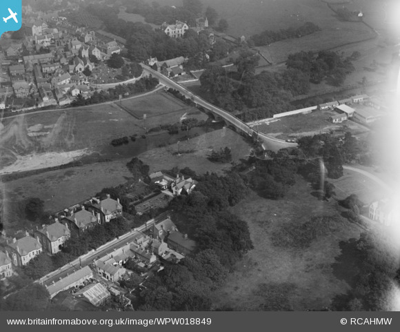
wpw018849 WALES. St Asaph, oblique aerial view. 5"x4" black and white glass plate negative.
© Copyright OpenStreetMap contributors and licensed by the OpenStreetMap Foundation. 2024. Cartography is licensed as CC BY-SA.
Nearby Images (8)
WAW044805

WAW044806

WAW044807

WAW044808

WPW018848

WPW018849

WPW018850

WPW018851

Details
| Title | [WPW018849] St Asaph, oblique aerial view. 5"x4" black and white glass plate negative. |
| Reference | WPW018849 |
| Date | |
| Link | Coflein Archive Item 6378126 |
| Place name | |
| Parish | |
| District | |
| Country | WALES |
| Easting / Northing | 303910, 374370 |
| Longitude / Latitude | -3.4405813876482, 53.257344549206 |
| National Grid Reference | SJ039744 |
Pins
 Class31 |
Saturday 14th of July 2012 12:51:10 PM | |
Class31 |
Saturday 14th of July 2012 12:42:53 PM | |
Class31 |
Saturday 14th of July 2012 12:42:16 PM | |
Class31 |
Saturday 14th of July 2012 12:41:52 PM | |
Class31 |
Saturday 14th of July 2012 12:39:48 PM | |
The river is the Elwy. |
 Nick Owen |
Wednesday 25th of July 2012 01:34:38 PM |
Apologies |
Class31 |
Wednesday 25th of July 2012 10:59:50 PM |
User Comment Contributions
Thank you both for your help identifying this site, we have now confirmed it as St Asaph and will update the location in due course. Thanks again for your valuble contributions. Natasha Scullion, Britain from Above Activity Officer |
Natasha Scullion |
Monday 15th of April 2013 09:59:25 AM |
St. Asaph from the West overlooking the River Clwyd and the Parish Church of St. Kentigern and St. Asaph. |
Class31 |
Thursday 26th of July 2012 07:26:13 AM |
Correction. River is the Elwy |
Class31 |
Thursday 26th of July 2012 07:26:13 AM |


