
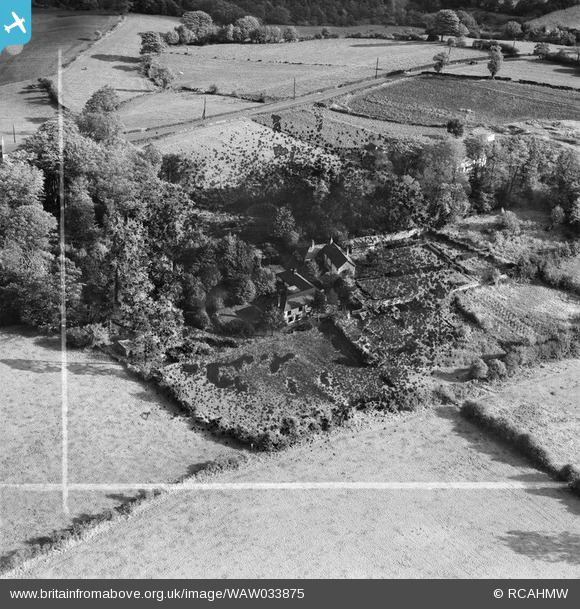
waw033875 WALES (1950). View of area south of Holywell showing Pistyll. Labelled "Holywell Textile Mills Ltd., Highfield & Pistyll".
© Copyright OpenStreetMap contributors and licensed by the OpenStreetMap Foundation. 2024. Cartography is licensed as CC BY-SA.
Nearby Images (5)
WAW033868

WAW033873

WAW033875

WAW033876

WAW033872

Details
| Title | [WAW033875] View of area south of Holywell showing Pistyll. Labelled "Holywell Textile Mills Ltd., Highfield & Pistyll". |
| Reference | WAW033875 |
| Date | 1950 |
| Link | Coflein Archive Item 6414432 |
| Place name | |
| Parish | |
| District | |
| Country | WALES |
| Easting / Northing | 319079, 374631 |
| Longitude / Latitude | -3.2132951950764, 53.262220865733 |
| National Grid Reference | SJ191746 |
Pins
 Class31 |
Wednesday 30th of April 2014 05:18:30 PM | |
Class31 |
Wednesday 30th of April 2014 05:16:45 PM | |
 Andrew Bennett |
Sunday 27th of April 2014 11:14:54 PM | |
Personally my memories are of Halkyn Road as the A55 Trunk Road which was the main route in and out of North Wales. In the early 1980's I would be driving west into the sun in the early evening and the traffic coming out of North Wales would be nose to tail stop start for miles. |
Class31 |
Wednesday 30th of April 2014 05:24:43 PM |
User Comment Contributions
View is looking east. |
Class31 |
Wednesday 30th of April 2014 05:16:27 PM |
Stamford. About 1/2 mile south of Holywell |
Andrew Bennett |
Sunday 27th of April 2014 11:13:55 PM |


