
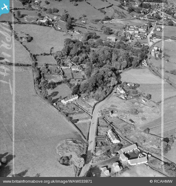
waw033871 WALES (1950). View of area south of Holywell showing Milwr farm in the foreground. Labelled "Holywell Textile Mills Ltd., Highfield & Pistyll".
© Copyright OpenStreetMap contributors and licensed by the OpenStreetMap Foundation. 2024. Cartography is licensed as CC BY-SA.
Nearby Images (7)
WAW033867

WAW033871

WAW033874

WPW040158

WPW040159

WPW040160

WPW040161

Details
| Title | [WAW033871] View of area south of Holywell showing Milwr farm in the foreground. Labelled "Holywell Textile Mills Ltd., Highfield & Pistyll". |
| Reference | WAW033871 |
| Date | 1950 |
| Link | Coflein Archive Item 6414428 |
| Place name | |
| Parish | |
| District | |
| Country | WALES |
| Easting / Northing | 318540, 375940 |
| Longitude / Latitude | -3.2217100946021, 53.273903356635 |
| National Grid Reference | SJ185759 |
Pins
 Class31 |
Wednesday 30th of April 2014 04:48:26 PM | |
Class31 |
Wednesday 30th of April 2014 04:47:39 PM | |
 Andrew Bennett |
Sunday 27th of April 2014 11:07:04 PM | |
Andrew Bennett |
Sunday 27th of April 2014 01:21:57 AM |
User Comment Contributions
View looking north west. |
Class31 |
Wednesday 30th of April 2014 04:48:53 PM |
Stamford. About half a mile south of Holywell. |
Andrew Bennett |
Sunday 27th of April 2014 01:08:13 AM |


