
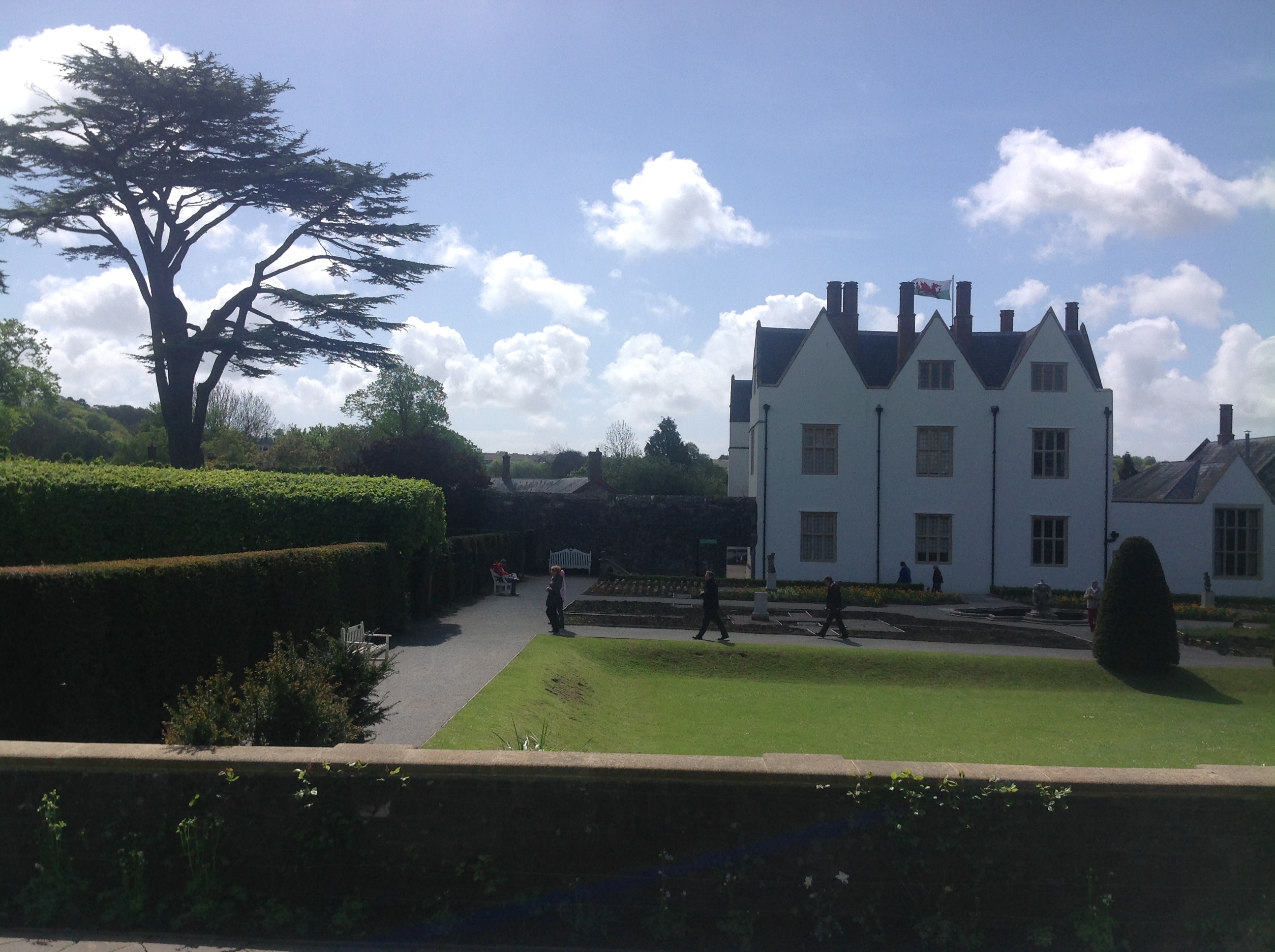
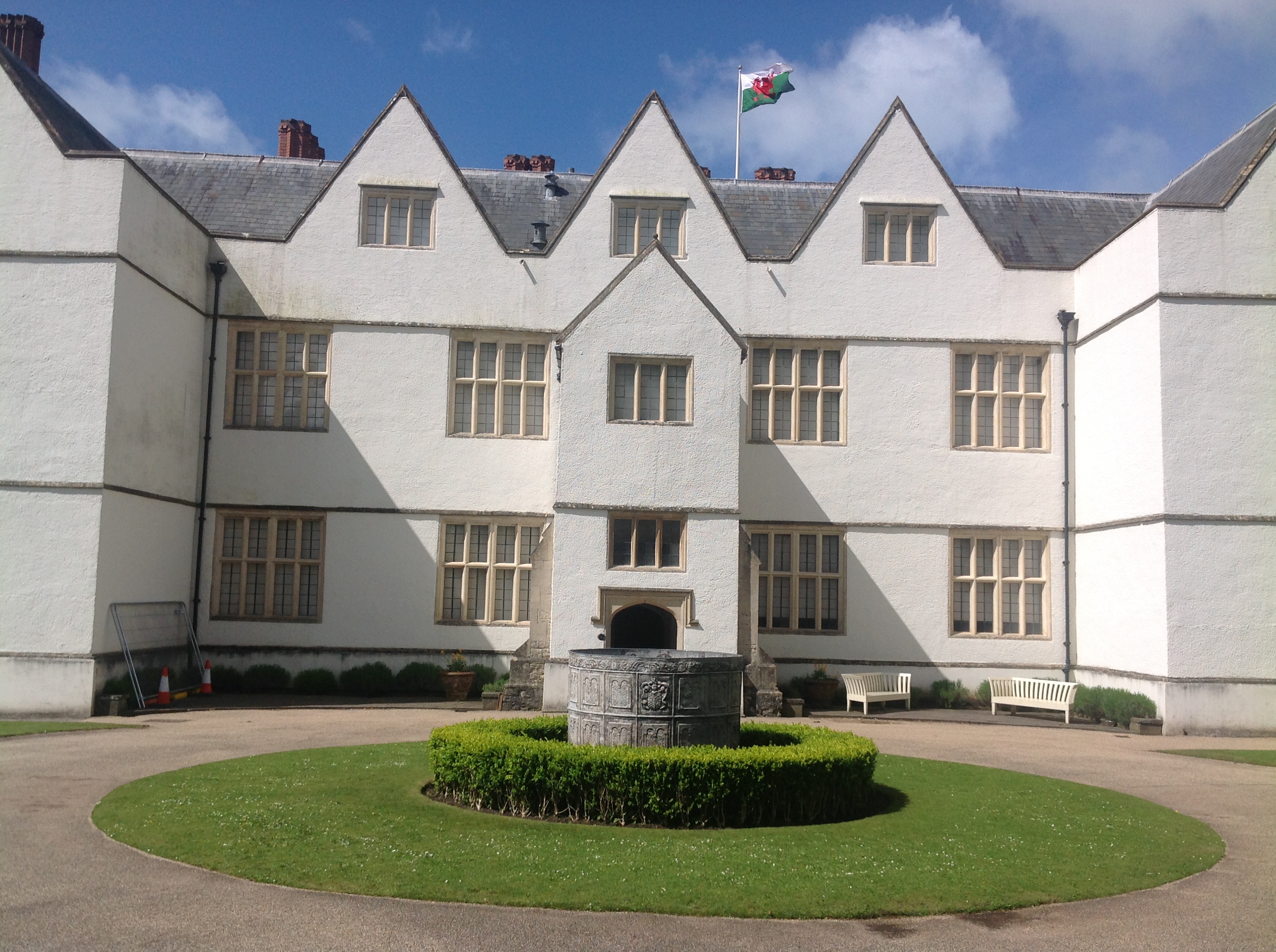
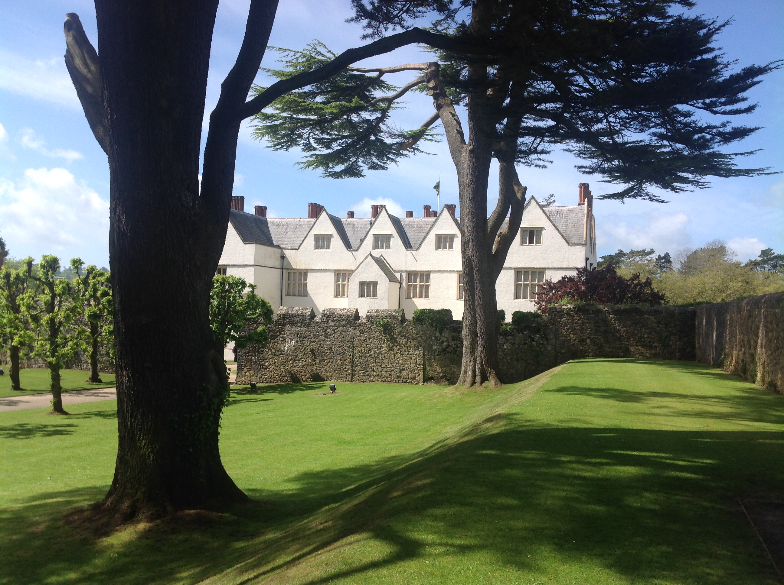
waw005939 WALES (1947). View of St Fagans Castle and grounds

© Copyright OpenStreetMap contributors and licensed by the OpenStreetMap Foundation. 2024. Cartography is licensed as CC BY-SA.
Nearby Images (5)
WAW005939

WAW005940

WAW005941

WAW005942

WAW005943

Details
| Title | [WAW005939] View of St Fagans Castle and grounds |
| Reference | WAW005939 |
| Date | 15-May-1947 |
| Link | Coflein Archive Item 6413387 |
| Place name | |
| Parish | |
| District | |
| Country | WALES |
| Easting / Northing | 312000, 177140 |
| Longitude / Latitude | -3.2675317162029, 51.485870910162 |
| National Grid Reference | ST120771 |
Pins

User Comment Contributions
 St Fagans 09/05/2014 |
 Class31 |
Tuesday 20th of May 2014 07:14:23 AM |
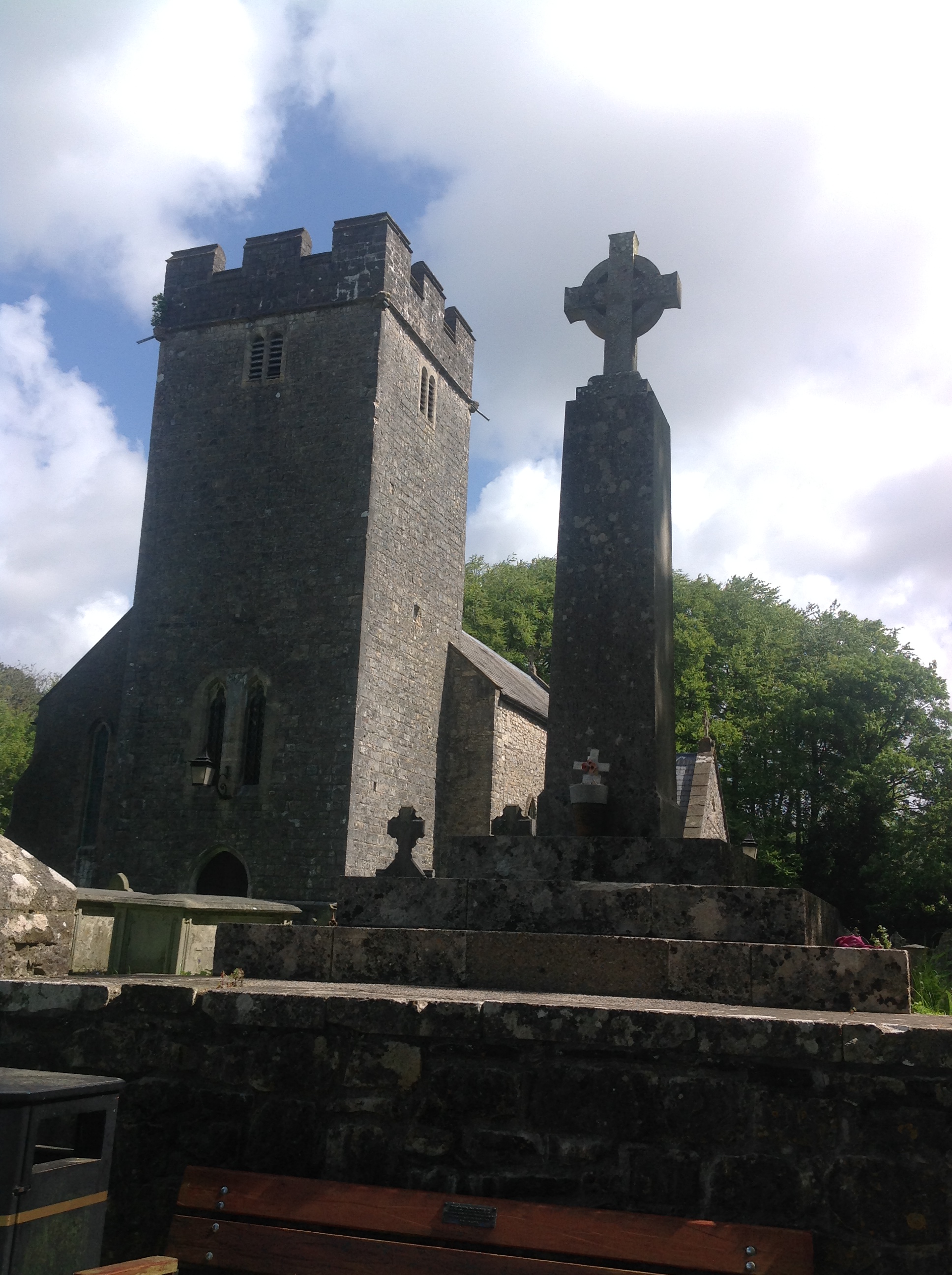
Also shows War Memorial |
Class31 |
Tuesday 20th of May 2014 07:14:23 AM |
 St Fagans 09/05/2014 |
Class31 |
Friday 16th of May 2014 10:36:00 AM |
 St Fagans 09/05/2014 |
Class31 |
Friday 16th of May 2014 10:35:14 AM |
 St Fagans 09/05/2014 |
Class31 |
Friday 16th of May 2014 10:34:13 AM |
 St Fagans 09/05/2014 |
Class31 |
Friday 16th of May 2014 10:33:03 AM |
 St Fagans 09/05/2014 |
Class31 |
Friday 16th of May 2014 10:31:20 AM |
 St. Fagan's Castle 09/05/2014 |
Class31 |
Tuesday 13th of May 2014 07:14:09 PM |
 St. Fagan's Castle 09/05/2014 |
Class31 |
Tuesday 13th of May 2014 07:13:07 PM |
 St. Fagan's Castle 09/05/2014 |
Class31 |
Tuesday 13th of May 2014 07:12:31 PM |
 St. Fagan's Castle 09/05/2014 |
Class31 |
Tuesday 13th of May 2014 07:11:33 PM |
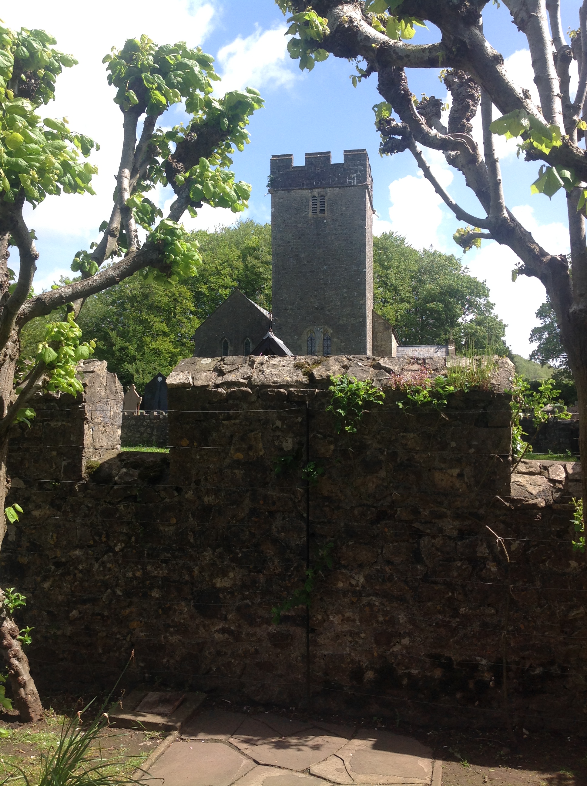
 This is St Fagans on the outskirts of Cardiff centred on 51.486864, -3.267536 |
 Chelsea61 |
Saturday 26th of April 2014 11:53:00 AM |
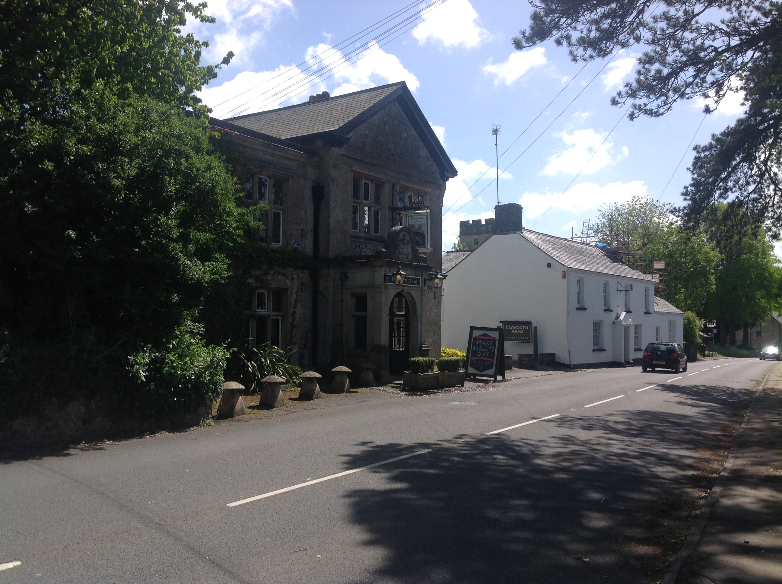
St. Fagans Castle |
Class31 |
Thursday 24th of April 2014 08:10:58 PM |


