
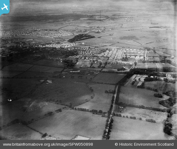
spw050898 SCOTLAND (1936). Airdrie, general view, showing Forrest Street and Towers Road. An oblique aerial photograph taken facing north-west.
© Copyright OpenStreetMap contributors and licensed by the OpenStreetMap Foundation. 2024. Cartography is licensed as CC BY-SA.
Details
| Title | [SPW050898] Airdrie, general view, showing Forrest Street and Towers Road. An oblique aerial photograph taken facing north-west. |
| Reference | SPW050898 |
| Date | 1936 |
| Link | Canmore Collection item 1257876 |
| Place name | |
| Parish | NEW MONKLAND (MONKLANDS) |
| District | MONKLANDS |
| Country | SCOTLAND |
| Easting / Northing | 278349, 665701 |
| Longitude / Latitude | -3.9443038426813, 55.86913288433 |
| National Grid Reference | NS783657 |
Pins
Be the first to add a comment to this image!


