
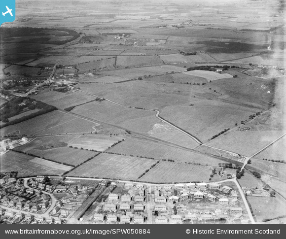
spw050884 SCOTLAND (1936). Airdrie, general view, showing Burnhead Road and Colliertree Road. An oblique aerial photograph taken facing north.
© Copyright OpenStreetMap contributors and licensed by the OpenStreetMap Foundation. 2024. Cartography is licensed as CC BY-SA.
Nearby Images (2)
SPW050884

SPW050883

Details
| Title | [SPW050884] Airdrie, general view, showing Burnhead Road and Colliertree Road. An oblique aerial photograph taken facing north. |
| Reference | SPW050884 |
| Date | 1936 |
| Link | Canmore Collection item 1257862 |
| Place name | |
| Parish | NEW MONKLAND (MONKLANDS) |
| District | MONKLANDS |
| Country | SCOTLAND |
| Easting / Northing | 277308, 666415 |
| Longitude / Latitude | -3.9612541289034, 55.875281249216 |
| National Grid Reference | NS773664 |
Pins
Be the first to add a comment to this image!


