
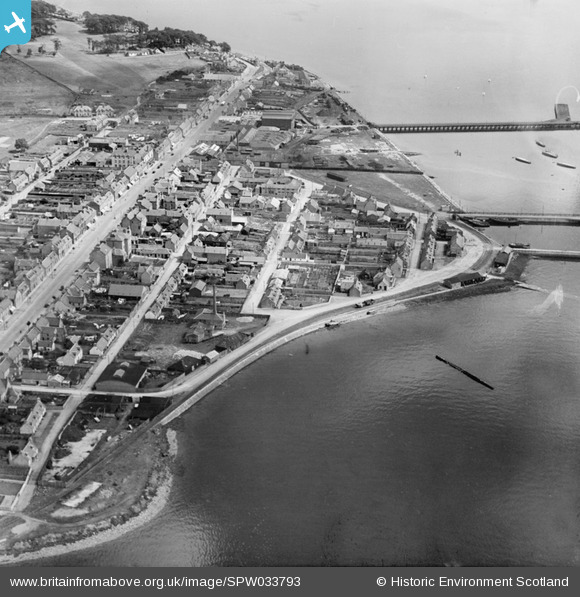
spw033793 SCOTLAND (1930). Invergordon, general view, showing High Street and Shore Road. An oblique aerial photograph taken facing east.
© Copyright OpenStreetMap contributors and licensed by the OpenStreetMap Foundation. 2024. Cartography is licensed as CC BY-SA.
Nearby Images (3)
SPW033793

SPW033794

SPW033795

Details
| Title | [SPW033793] Invergordon, general view, showing High Street and Shore Road. An oblique aerial photograph taken facing east. |
| Reference | SPW033793 |
| Date | 1930 |
| Link | Canmore Collection item 1298004 |
| Place name | |
| Parish | ROSSKEEN |
| District | ROSS AND CROMARTY |
| Country | SCOTLAND |
| Easting / Northing | 270800, 868500 |
| Longitude / Latitude | -4.1674007944521, 57.687998385152 |
| National Grid Reference | NH708685 |
Pins
Be the first to add a comment to this image!


