
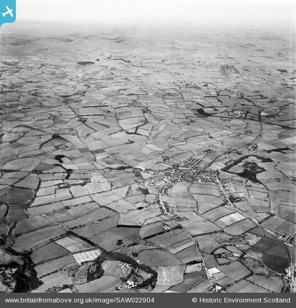
saw022904 SCOTLAND (1949). East Kilbride, general view. An oblique aerial photograph taken facing west.
© Copyright OpenStreetMap contributors and licensed by the OpenStreetMap Foundation. 2024. Cartography is licensed as CC BY-SA.
Details
| Title | [SAW022904] East Kilbride, general view. An oblique aerial photograph taken facing west. |
| Reference | SAW022904 |
| Date | 1949 |
| Link | Canmore Collection item 1269254 |
| Place name | |
| Parish | EAST KILBRIDE (SOUTH LANARKSHIRE) |
| District | EAST KILBRIDE |
| Country | SCOTLAND |
| Easting / Northing | 263349, 653839 |
| Longitude / Latitude | -4.177899757358, 55.75859948496 |
| National Grid Reference | NS633538 |
Pins
 Bob |
Tuesday 8th of November 2022 11:05:49 PM | |
Johnny |
Monday 1st of June 2020 10:08:49 AM | |
graham |
Monday 12th of December 2016 07:47:00 PM | |
graham |
Monday 12th of December 2016 07:45:02 PM | |
Effenbee |
Wednesday 10th of September 2014 11:15:15 PM | |
stephen |
Saturday 16th of November 2013 08:26:39 PM | |
stuall |
Monday 2nd of July 2012 04:24:53 PM |


