
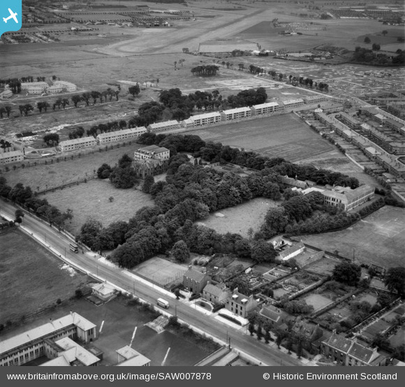
saw007878 SCOTLAND (1947). St Margaret's Convent and School, Renfrew Road, Paisley. An oblique aerial photograph taken facing east.
© Copyright OpenStreetMap contributors and licensed by the OpenStreetMap Foundation. 2024. Cartography is licensed as CC BY-SA.
Nearby Images (21)
SAW006123

SAW006124

SAW006125

SAW006126

SAW006128

SAW006129

SAW007878

SAW007879

SAW007880

SAW007881

SAW011539

SAW011540

SAW011541

SAW007876

SAW011542

SAW011543

SAW011544

SAW011545

SAW006127

SAW006122

SAW007877

Details
| Title | [SAW007878] St Margaret's Convent and School, Renfrew Road, Paisley. An oblique aerial photograph taken facing east. |
| Reference | SAW007878 |
| Date | 1947 |
| Link | Canmore Collection item 1268570 |
| Place name | |
| Parish | PAISLEY (RENFREW) |
| District | RENFREW |
| Country | SCOTLAND |
| Easting / Northing | 249025, 665209 |
| Longitude / Latitude | -4.4122832759561, 55.856425064154 |
| National Grid Reference | NS490652 |
Pins
 redmist |
Wednesday 23rd of August 2023 01:28:34 PM | |
ewnmcg |
Monday 4th of April 2016 10:41:01 PM | |
 Class31 |
Tuesday 2nd of October 2012 10:41:39 PM | |
Class31 |
Tuesday 2nd of October 2012 10:40:53 PM | |
Class31 |
Tuesday 2nd of October 2012 10:39:37 PM |


