
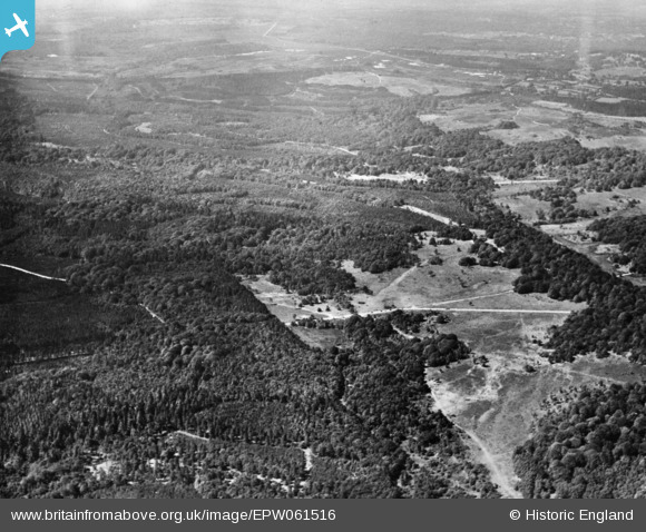
epw061516 ENGLAND (1939). Warwick Slade and surrounding woodland, New Forest, from the south, 1939. This image has been produced from a copy-negative.
© Copyright OpenStreetMap contributors and licensed by the OpenStreetMap Foundation. 2024. Cartography is licensed as CC BY-SA.
Details
| Title | [EPW061516] Warwick Slade and surrounding woodland, New Forest, from the south, 1939. This image has been produced from a copy-negative. |
| Reference | EPW061516 |
| Date | 2-June-1939 |
| Link | |
| Place name | NEW FOREST |
| Parish | MINSTEAD |
| District | |
| Country | ENGLAND |
| Easting / Northing | 426705, 106846 |
| Longitude / Latitude | -1.6205262830898, 50.859949303825 |
| National Grid Reference | SU267068 |
Pins
 Class31 |
Friday 31st of October 2014 08:12:20 PM | |
Class31 |
Friday 31st of October 2014 08:11:18 PM | |
Class31 |
Friday 31st of October 2014 08:08:43 PM | |
Class31 |
Friday 31st of October 2014 08:07:20 PM | |
Class31 |
Friday 31st of October 2014 08:05:52 PM | |
Class31 |
Friday 31st of October 2014 08:05:13 PM | |
Class31 |
Friday 31st of October 2014 08:03:51 PM | |
Class31 |
Friday 31st of October 2014 08:03:23 PM |


