
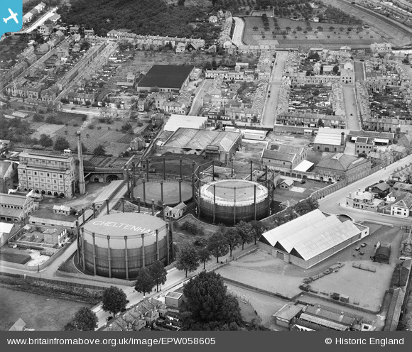
epw058605 ENGLAND (1938). Gas Works on Lower Mill Street and environs, Alstone, 1938
© Copyright OpenStreetMap contributors and licensed by the OpenStreetMap Foundation. 2024. Cartography is licensed as CC BY-SA.
Nearby Images (9)
EPW058605

EPW058606

EPW058608

EPW058607

EPW058604

EPW058603

EPW059677

EPW059679

EPR000383

Details
| Title | [EPW058605] Gas Works on Lower Mill Street and environs, Alstone, 1938 |
| Reference | EPW058605 |
| Date | 13-August-1938 |
| Link | |
| Place name | ALSTONE |
| Parish | |
| District | |
| Country | ENGLAND |
| Easting / Northing | 394067, 223035 |
| Longitude / Latitude | -2.0862498004778, 51.905385935713 |
| National Grid Reference | SO941230 |
Pins
 Phil |
Friday 2nd of September 2016 10:55:14 AM | |
Hello Chris |
Tuesday 8th of March 2016 01:33:56 PM | |
Hello Chris |
Tuesday 8th of March 2016 01:33:30 PM | |
Hello Chris |
Tuesday 8th of March 2016 01:32:13 PM | |
Hello Chris |
Tuesday 8th of March 2016 01:30:38 PM | |
MB |
Saturday 4th of January 2014 09:13:44 AM | |
 |
James Chandler |
Saturday 4th of January 2014 03:27:26 AM |
User Comment Contributions
Charlie Fry's Moors Gardens |
Phil |
Friday 2nd of September 2016 10:50:34 AM |


