
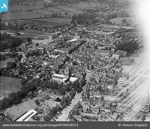
epw058214 ENGLAND (1938). St Mary's Church and the town centre, melton Mowbray, 1938
© Copyright OpenStreetMap contributors and licensed by the OpenStreetMap Foundation. 2024. Cartography is licensed as CC BY-SA.
Nearby Images (12)
EPW058214

EAW042527

EPW058210

EAW042526

EPW014945

EPW014943

EPW014944

EAW049205

EAW049204

EPW014946

EAW042528

EPW058212

Details
| Title | [EPW058214] St Mary's Church and the town centre, melton Mowbray, 1938 |
| Reference | EPW058214 |
| Date | 20-July-1938 |
| Link | |
| Place name | MELTON MOWBRAY |
| Parish | |
| District | |
| Country | ENGLAND |
| Easting / Northing | 475215, 319130 |
| Longitude / Latitude | -0.8851719845626, 52.764191326148 |
| National Grid Reference | SK752191 |
Pins
Be the first to add a comment to this image!
User Comment Contributions
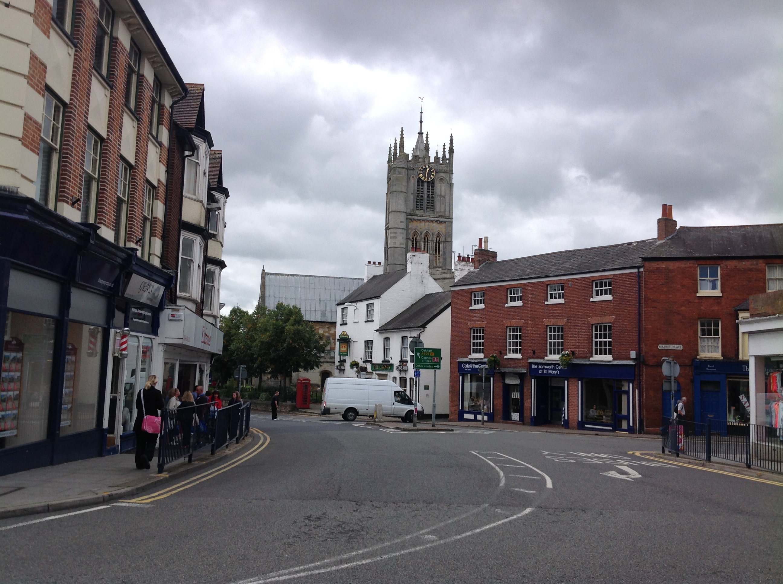 St. Mary's Church, Melton Mowbray, 30/08/2014 |
 Class31 |
Tuesday 24th of May 2016 11:09:21 PM |


