
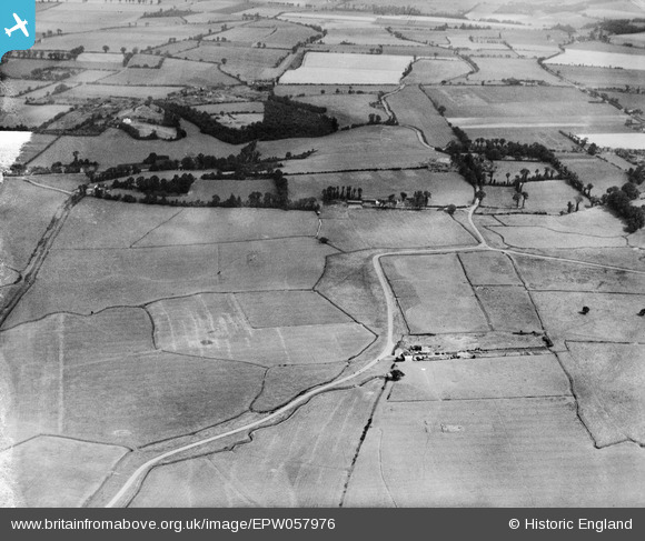
epw057976 ENGLAND (1938). Fort Road, Broom Hill and surrounding countryside, Biggin, 1938
© Copyright OpenStreetMap contributors and licensed by the OpenStreetMap Foundation. 2024. Cartography is licensed as CC BY-SA.
Nearby Images (3)
EPW057976

EPW057974

EPW057969

Details
| Title | [EPW057976] Fort Road, Broom Hill and surrounding countryside, Biggin, 1938 |
| Reference | EPW057976 |
| Date | 17-July-1938 |
| Link | |
| Place name | BIGGIN |
| Parish | |
| District | |
| Country | ENGLAND |
| Easting / Northing | 565507, 177427 |
| Longitude / Latitude | 0.38326368923982, 51.471079887415 |
| National Grid Reference | TQ655774 |
Pins
Be the first to add a comment to this image!


