
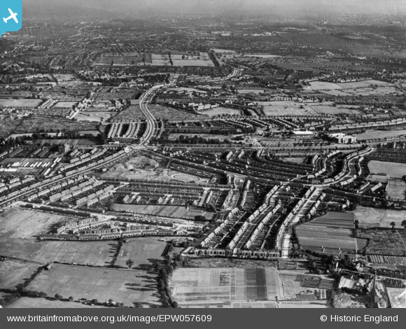
epw057609 ENGLAND (1938). The Great Cambridge Interchange, Hedge Lane and environs, Enfield, from the north, 1938. This image has been produced from a print.
© Copyright OpenStreetMap contributors and licensed by the OpenStreetMap Foundation. 2024. Cartography is licensed as CC BY-SA.
Details
| Title | [EPW057609] The Great Cambridge Interchange, Hedge Lane and environs, Enfield, from the north, 1938. This image has been produced from a print. |
| Reference | EPW057609 |
| Date | July-1938 |
| Link | |
| Place name | ENFIELD |
| Parish | |
| District | |
| Country | ENGLAND |
| Easting / Northing | 532355, 193285 |
| Longitude / Latitude | -0.087829961055142, 51.622331105826 |
| National Grid Reference | TQ324933 |
Pins
Be the first to add a comment to this image!
User Comment Contributions
Oakthorpe School, Tile Kiln Lane, N13. To the right of the school, partially hidden by shrubs on the corner of Chequers Way is two cottages. One was the caretakers cottage, the other was for toll gate keeper and family. Last used 1927. Cottages demolished c1962. |
 downloader141 |
Saturday 28th of November 2015 01:35:27 AM |
The Metal Box Company |
downloader141 |
Saturday 28th of November 2015 01:25:04 AM |


