
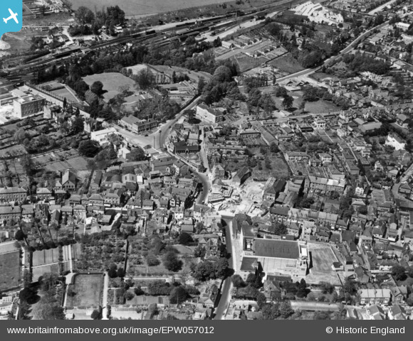
epw057012 ENGLAND (1938). The town centre, Leatherhead, 1938. This image has been produced from a print.
© Copyright OpenStreetMap contributors and licensed by the OpenStreetMap Foundation. 2024. Cartography is licensed as CC BY-SA.
Nearby Images (9)
EPW057012

EPW057010

EPW032798

EAW049417

EAW049419

EPW006232

EPW057011

EPW006233

EPW025240

Details
| Title | [EPW057012] The town centre, Leatherhead, 1938. This image has been produced from a print. |
| Reference | EPW057012 |
| Date | 5-May-1938 |
| Link | |
| Place name | LEATHERHEAD |
| Parish | |
| District | |
| Country | ENGLAND |
| Easting / Northing | 516511, 156525 |
| Longitude / Latitude | -0.32873464956959, 51.295410145676 |
| National Grid Reference | TQ165565 |
Pins
 JimmyBrandon |
Wednesday 14th of September 2016 09:58:41 AM | |
NeilB |
Wednesday 26th of August 2015 01:31:36 PM | |
NeilB |
Wednesday 26th of August 2015 01:30:21 PM | |
NeilB |
Wednesday 26th of August 2015 01:28:59 PM |


