
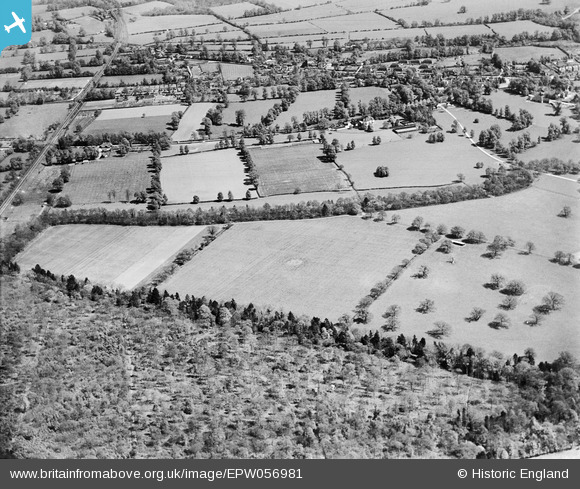
epw056981 ENGLAND (1938). Hatchlands Park and farmland near West Horsley, East Clandon, from the west, 1938
© Copyright OpenStreetMap contributors and licensed by the OpenStreetMap Foundation. 2024. Cartography is licensed as CC BY-SA.
Details
| Title | [EPW056981] Hatchlands Park and farmland near West Horsley, East Clandon, from the west, 1938 |
| Reference | EPW056981 |
| Date | 5-May-1938 |
| Link | |
| Place name | EAST CLANDON |
| Parish | EAST CLANDON |
| District | |
| Country | ENGLAND |
| Easting / Northing | 506825, 153038 |
| Longitude / Latitude | -0.46866043619024, 51.265963473459 |
| National Grid Reference | TQ068530 |
Pins
Be the first to add a comment to this image!


