
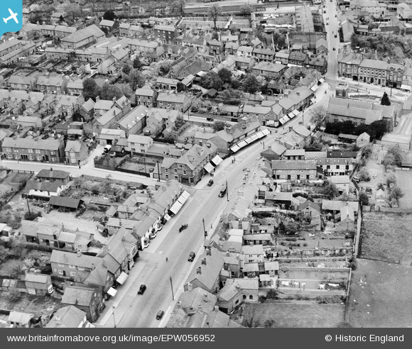
epw056952 ENGLAND (1938). Aylesbury Street, Fenny Stratford, 1938
© Copyright OpenStreetMap contributors and licensed by the OpenStreetMap Foundation. 2024. Cartography is licensed as CC BY-SA.
Nearby Images (6)
EPW056952

EPW056954

EPW056955

EPW022466

EPW056951

EPW022463

Details
| Title | [EPW056952] Aylesbury Street, Fenny Stratford, 1938 |
| Reference | EPW056952 |
| Date | 26-April-1938 |
| Link | |
| Place name | FENNY STRATFORD |
| Parish | BLETCHLEY AND FENNY STRATFORD |
| District | |
| Country | ENGLAND |
| Easting / Northing | 488184, 234019 |
| Longitude / Latitude | -0.71539677827354, 51.997178746358 |
| National Grid Reference | SP882340 |
Pins
Be the first to add a comment to this image!


