
epw056655 ENGLAND (1938). Whitestone Pond and environs, Hampstead Heath, 1938

© Copyright OpenStreetMap contributors and licensed by the OpenStreetMap Foundation. 2024. Cartography is licensed as CC BY-SA.
Nearby Images (16)
EPW056655

EPW026949

EPW028170

EPW000818

EPW026950

EPW020198

EPW020198
EPW009353

EPW020197

EPW020197
EPW056656

EPW000430

EAW000612

EAW000613

EAW000611

EPW016652

Details
| Title | [EPW056655] Whitestone Pond and environs, Hampstead Heath, 1938 |
| Reference | EPW056655 |
| Date | 30-March-1938 |
| Link | |
| Place name | HAMPSTEAD HEATH |
| Parish | |
| District | |
| Country | ENGLAND |
| Easting / Northing | 526260, 186277 |
| Longitude / Latitude | -0.17835890546224, 51.560745236618 |
| National Grid Reference | TQ263863 |
Pins


User Comment Contributions
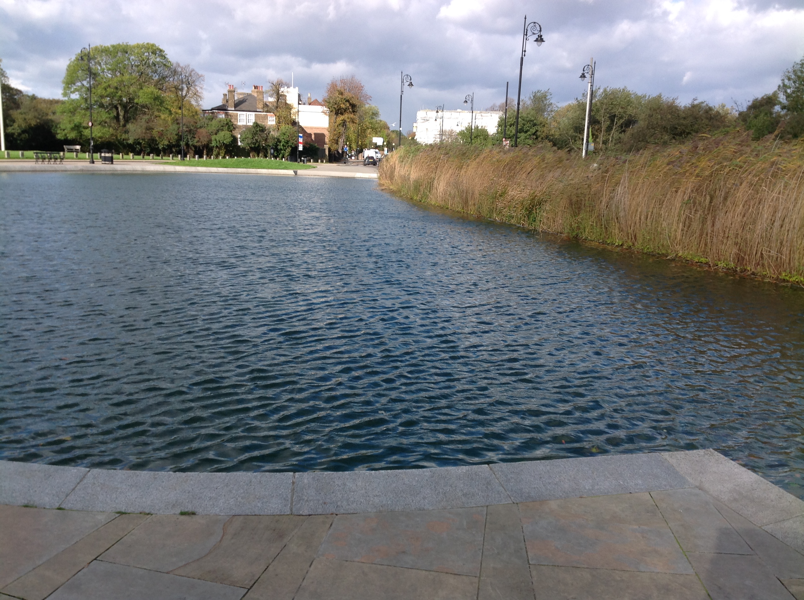 Whitestone Pond, Hampstead, 21/10/2014 |
 Class31 |
Monday 27th of October 2014 02:42:23 PM |


