
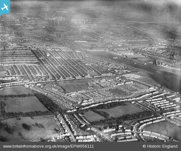
epw056111 ENGLAND (1937). A residential area under construction surrounding Waters Road and Battersby Road, Catford, from the south, 1937
© Copyright OpenStreetMap contributors and licensed by the OpenStreetMap Foundation. 2025. Cartography is licensed as CC BY-SA.
Details
| Title | [EPW056111] A residential area under construction surrounding Waters Road and Battersby Road, Catford, from the south, 1937 |
| Reference | EPW056111 |
| Date | November-1937 |
| Link | |
| Place name | CATFORD |
| Parish | |
| District | |
| Country | ENGLAND |
| Easting / Northing | 539100, 172188 |
| Longitude / Latitude | 0.001221809713747, 51.431106400712 |
| National Grid Reference | TQ391722 |
Pins
 Prefabs |
Thursday 23rd of October 2014 09:55:15 AM | |
Mike Floate |
Tuesday 6th of May 2014 04:07:11 PM |