
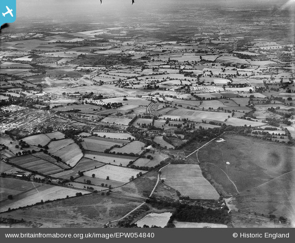
epw054840 ENGLAND (1937). Whitmoor Common and Broadstreet Common, Guildford, from the north-east, 1937
© Copyright OpenStreetMap contributors and licensed by the OpenStreetMap Foundation. 2024. Cartography is licensed as CC BY-SA.
Nearby Images (4)
EPW054840

EPW054848

EPW054839

EPW054847

Details
| Title | [EPW054840] Whitmoor Common and Broadstreet Common, Guildford, from the north-east, 1937 |
| Reference | EPW054840 |
| Date | 16-August-1937 |
| Link | |
| Place name | GUILDFORD |
| Parish | |
| District | |
| Country | ENGLAND |
| Easting / Northing | 498706, 152795 |
| Longitude / Latitude | -0.58507399254382, 51.265243120087 |
| National Grid Reference | SU987528 |
Pins
 percommode |
Saturday 21st of December 2013 07:59:13 PM |


