
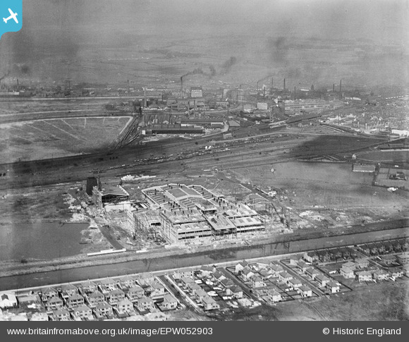
epw052903 ENGLAND (1937). The Mersey Works (Paper Board) under construction and environs, Warrington, 1937
© Copyright OpenStreetMap contributors and licensed by the OpenStreetMap Foundation. 2024. Cartography is licensed as CC BY-SA.
Nearby Images (20)
EPW052903
 under construction and environs, Warrington, 1937")
EPW052901
 under construction and environs, Warrington, 1937")
EPW055703
, Warrington, 1937")
EPW052904
 under construction and environs, Warrington, 1937")
EPW056689

EPW056688

EPW055702
, Warrington, 1937")
EPW056683

EPW056682

EPW056685

EPW056687

EPW055701
, Warrington, 1937")
EPW055704
, Warrington, 1937")
EPW056686

EPW034307

EPW055698
, Warrington, 1937")
EPW053326
 under construction, Warrington, 1937")
EPW055699
, Warrington, 1937")
EPW053327
 under construction, Warrington, 1937")
EPW053324
 under construction, Warrington, 1937")
Details
| Title | [EPW052903] The Mersey Works (Paper Board) under construction and environs, Warrington, 1937 |
| Reference | EPW052903 |
| Date | 24-April-1937 |
| Link | |
| Place name | WARRINGTON |
| Parish | |
| District | |
| Country | ENGLAND |
| Easting / Northing | 360104, 387414 |
| Longitude / Latitude | -2.5998487832289, 53.381802576998 |
| National Grid Reference | SJ601874 |
Pins
Be the first to add a comment to this image!


