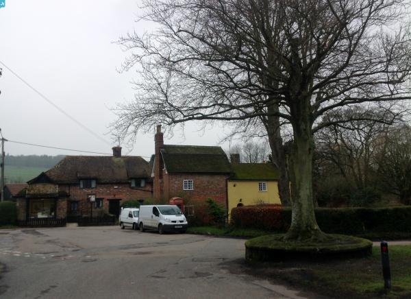
epw050575 ENGLAND (1936). Blandford Road and the Clayesmore School, Iwerne Minster, 1936

© Copyright OpenStreetMap contributors and licensed by the OpenStreetMap Foundation. 2024. Cartography is licensed as CC BY-SA.
Details
| Title | [EPW050575] Blandford Road and the Clayesmore School, Iwerne Minster, 1936 |
| Reference | EPW050575 |
| Date | June-1936 |
| Link | |
| Place name | IWERNE MINSTER |
| Parish | IWERNE MINSTER |
| District | |
| Country | ENGLAND |
| Easting / Northing | 386432, 115008 |
| Longitude / Latitude | -2.1931040926071, 50.933810941026 |
| National Grid Reference | ST864150 |