
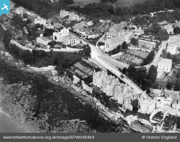
epw048464 ENGLAND (1935). High Cliff, Clevedon, 1935. This image has been produced from a copy-negative.
© Copyright OpenStreetMap contributors and licensed by the OpenStreetMap Foundation. 2024. Cartography is licensed as CC BY-SA.
Nearby Images (7)
EPW048464

EPW024061

EPW024063

EPW024069

EPW024064

EPW008632

EPW033270

Details
| Title | [EPW048464] High Cliff, Clevedon, 1935. This image has been produced from a copy-negative. |
| Reference | EPW048464 |
| Date | July-1935 |
| Link | |
| Place name | CLEVEDON |
| Parish | CLEVEDON |
| District | |
| Country | ENGLAND |
| Easting / Northing | 340289, 172067 |
| Longitude / Latitude | -2.8592673174316, 51.443952493636 |
| National Grid Reference | ST403721 |
Pins
 PFC |
Saturday 21st of February 2015 06:22:30 PM | |
Alitigger |
Wednesday 12th of November 2014 10:11:17 PM | |
Graeme |
Thursday 30th of October 2014 09:52:49 PM | |
Graeme |
Thursday 30th of October 2014 09:50:15 PM | |
Graeme |
Thursday 30th of October 2014 09:49:40 PM |
User Comment Contributions
 Marine Hill. Clevedon, 02/01/2015 |
 Class31 |
Saturday 21st of February 2015 07:49:37 PM |
 Marine Parade, Clevedon, 02/01/2015 |
Class31 |
Saturday 21st of February 2015 07:48:21 PM |
 Marine Parade, Clevedon, 02/01/2015 |
Class31 |
Saturday 21st of February 2015 07:47:20 PM |
 Marine Hill. Clevedon, 02/01/2015 |
Class31 |
Saturday 21st of February 2015 07:46:34 PM |
 Catholic Church of the Immaculate Conception, Clevedon, 02/01/2015 |
Class31 |
Saturday 21st of February 2015 07:45:22 PM |
Yes, definately 'Broadchurch', AKA Clevedon near Bristol |
Graeme |
Thursday 30th of October 2014 09:54:49 PM |
Is this Broadchurch? |
Class31 |
Tuesday 28th of October 2014 09:16:10 PM |


