
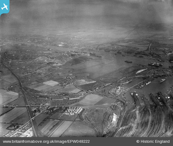
epw048222 ENGLAND (1935). Jarrow Slake, the Tyne Dock and environs, Jarrow, from the south-east, 1935
© Copyright OpenStreetMap contributors and licensed by the OpenStreetMap Foundation. 2024. Cartography is licensed as CC BY-SA.
Details
| Title | [EPW048222] Jarrow Slake, the Tyne Dock and environs, Jarrow, from the south-east, 1935 |
| Reference | EPW048222 |
| Date | July-1935 |
| Link | |
| Place name | JARROW |
| Parish | |
| District | |
| Country | ENGLAND |
| Easting / Northing | 434988, 564714 |
| Longitude / Latitude | -1.4533177606138, 54.975731709239 |
| National Grid Reference | NZ350647 |
Pins
Be the first to add a comment to this image!


