
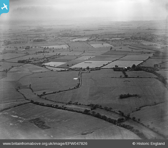
epw047826 ENGLAND (1935). Open countryside proposed for the site of Warrington Aerodrome, Croft, from the east, 1935
© Copyright OpenStreetMap contributors and licensed by the OpenStreetMap Foundation. 2024. Cartography is licensed as CC BY-SA.
Nearby Images (2)
EPW047826

EPW047831

Details
| Title | [EPW047826] Open countryside proposed for the site of Warrington Aerodrome, Croft, from the east, 1935 |
| Reference | EPW047826 |
| Date | June-1935 |
| Link | |
| Place name | CROFT |
| Parish | CROFT |
| District | |
| Country | ENGLAND |
| Easting / Northing | 365876, 394114 |
| Longitude / Latitude | -2.5137944354324, 53.442434907219 |
| National Grid Reference | SJ659941 |


