
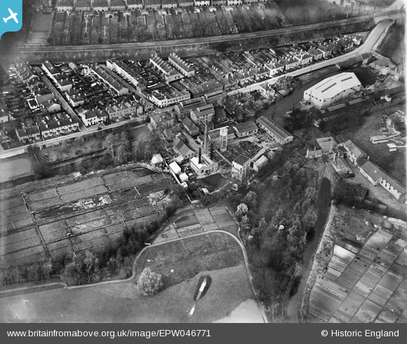
epw046771 ENGLAND (1935). The British Industrial Solvents Chemical Works, Carshalton, 1935
© Copyright OpenStreetMap contributors and licensed by the OpenStreetMap Foundation. 2024. Cartography is licensed as CC BY-SA.
Nearby Images (6)
EPW046771

EPW046773

EPW046774

EPW046775

EPW046772

EPW046776

Details
| Title | [EPW046771] The British Industrial Solvents Chemical Works, Carshalton, 1935 |
| Reference | EPW046771 |
| Date | April-1935 |
| Link | |
| Place name | CARSHALTON |
| Parish | |
| District | |
| Country | ENGLAND |
| Easting / Northing | 528136, 164912 |
| Longitude / Latitude | -0.15905314840789, 51.368295680713 |
| National Grid Reference | TQ281649 |
Pins
 Mark1973 |
Saturday 3rd of August 2013 12:18:25 PM | |
Falcon |
Monday 17th of June 2013 11:56:10 AM | |
piglittel |
Saturday 11th of May 2013 03:47:19 PM | |
Hicksy |
Tuesday 7th of May 2013 11:30:29 AM |


