
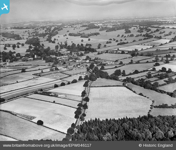
epw046117 ENGLAND (1934). The village and surrounding countryside, Oxton, from the south-west, 1934
© Copyright OpenStreetMap contributors and licensed by the OpenStreetMap Foundation. 2024. Cartography is licensed as CC BY-SA.
Details
| Title | [EPW046117] The village and surrounding countryside, Oxton, from the south-west, 1934 |
| Reference | EPW046117 |
| Date | September-1934 |
| Link | |
| Place name | OXTON |
| Parish | OXTON |
| District | |
| Country | ENGLAND |
| Easting / Northing | 462234, 350866 |
| Longitude / Latitude | -1.071464254364, 53.051123878139 |
| National Grid Reference | SK622509 |
Pins
Be the first to add a comment to this image!


