
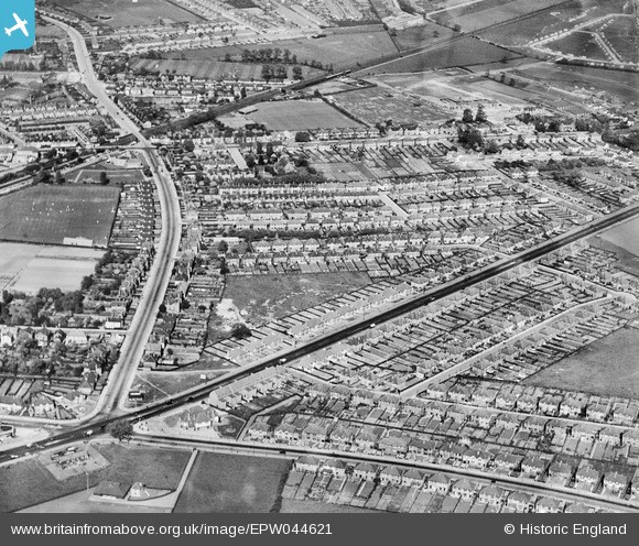
epw044621 ENGLAND (1934). Residential area at New Eltham, Eltham, 1934
© Copyright OpenStreetMap contributors and licensed by the OpenStreetMap Foundation. 2024. Cartography is licensed as CC BY-SA.
Details
| Title | [EPW044621] Residential area at New Eltham, Eltham, 1934 |
| Reference | EPW044621 |
| Date | May-1934 |
| Link | |
| Place name | ELTHAM |
| Parish | |
| District | |
| Country | ENGLAND |
| Easting / Northing | 543889, 172672 |
| Longitude / Latitude | 0.070269949311411, 51.434259944231 |
| National Grid Reference | TQ439727 |


