
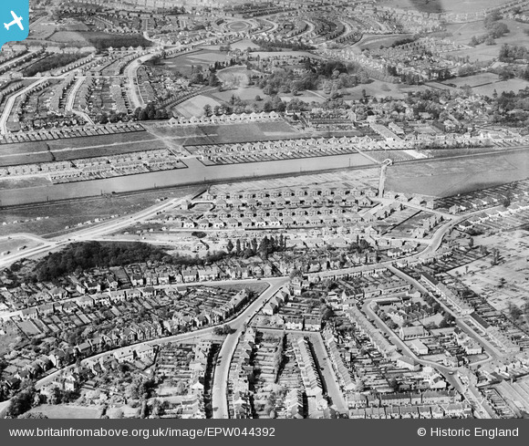
epw044392 ENGLAND (1934). Housing estates to the north and south of the Southern Railway Dartford Loop Line, Sidcup, 1934
© Copyright OpenStreetMap contributors and licensed by the OpenStreetMap Foundation. 2024. Cartography is licensed as CC BY-SA.
Nearby Images (4)
EPW044392

EPW044389

EPW038219

EPW044391

Details
| Title | [EPW044392] Housing estates to the north and south of the Southern Railway Dartford Loop Line, Sidcup, 1934 |
| Reference | EPW044392 |
| Date | May-1934 |
| Link | |
| Place name | SIDCUP |
| Parish | |
| District | |
| Country | ENGLAND |
| Easting / Northing | 545478, 172647 |
| Longitude / Latitude | 0.093105847060238, 51.433629439306 |
| National Grid Reference | TQ455726 |
Pins
 Paul Wick |
Monday 23rd of January 2017 06:06:24 PM |


