
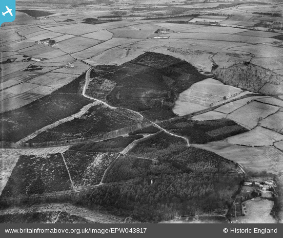
epw043817 ENGLAND (1934). Chopwell Wood and the Garesfield and Chopwell Railway, High Spen, from the south-east, 1934
© Copyright OpenStreetMap contributors and licensed by the OpenStreetMap Foundation. 2024. Cartography is licensed as CC BY-SA.
Details
| Title | [EPW043817] Chopwell Wood and the Garesfield and Chopwell Railway, High Spen, from the south-east, 1934 |
| Reference | EPW043817 |
| Date | February-1934 |
| Link | |
| Place name | HIGH SPEN |
| Parish | |
| District | |
| Country | ENGLAND |
| Easting / Northing | 413720, 558807 |
| Longitude / Latitude | -1.785904804093, 54.923683717717 |
| National Grid Reference | NZ137588 |
Pins

User Comment Contributions
I ran in an orienteering event at Chopwell Wood in about 1975 and I more recently looked at the results list and I noticed that I beat an individual with the name S Cram. There can't be that many S Cram's who were runners in the North East. A claim to fame ? |
 Class31 |
Wednesday 18th of November 2015 08:20:19 PM |


