
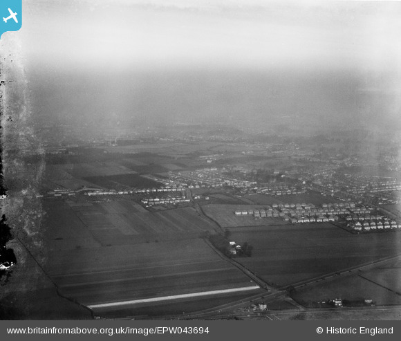
epw043694 ENGLAND (1934). Cranford Lane and environs, Heston, from the south-west, 1934
© Copyright OpenStreetMap contributors and licensed by the OpenStreetMap Foundation. 2024. Cartography is licensed as CC BY-SA.
Nearby Images (2)
EPW043694

EPW021897

Details
| Title | [EPW043694] Cranford Lane and environs, Heston, from the south-west, 1934 |
| Reference | EPW043694 |
| Date | January-1934 |
| Link | |
| Place name | HESTON |
| Parish | |
| District | |
| Country | ENGLAND |
| Easting / Northing | 511760, 176689 |
| Longitude / Latitude | -0.39050726302812, 51.477619834893 |
| National Grid Reference | TQ118767 |
Pins
Be the first to add a comment to this image!


