
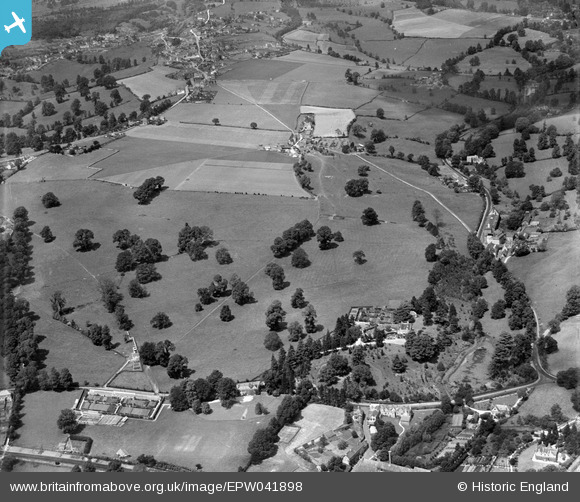
epw041898 ENGLAND (1933). Stratford Park, Stroud, 1933,
© Copyright OpenStreetMap contributors and licensed by the OpenStreetMap Foundation. 2024. Cartography is licensed as CC BY-SA.
Nearby Images (5)
EPW041898

EPW041897

EPW041899

EPW041879

EPW041880

Details
| Title | [EPW041898] Stratford Park, Stroud, 1933, |
| Reference | EPW041898 |
| Date | June-1933 |
| Link | |
| Place name | STROUD |
| Parish | STROUD |
| District | |
| Country | ENGLAND |
| Easting / Northing | 384470, 205944 |
| Longitude / Latitude | -2.2249964270705, 51.751519881251 |
| National Grid Reference | SO845059 |
Pins
Be the first to add a comment to this image!


